Source: http://dictionaryofsydney.org/place/woolloomooloo
Location of Woolloomooloo
Woolloomooloo is located 1.5 kilometres east of the Sydney Central Business District (CBD). It is in a low-lying, former docklands area. It’s coordinates are 33o52’13”S and 151o13’20”E. The boundaries of Woolloomooloo are Woolloomooloo Bay in the North, William Street in the South, Brougham Street in the East, and Sir John Young Crescent and Lincoln Crescent in the West.
The Eastern Distributor in the vicinity above Palmer Street, dissects the suburb in a North-South direction. The Eastern Suburbs Train Line dissects the suburb from the West to the South-East corner across Cathedral Street and is raised above the suburb as an overpass.
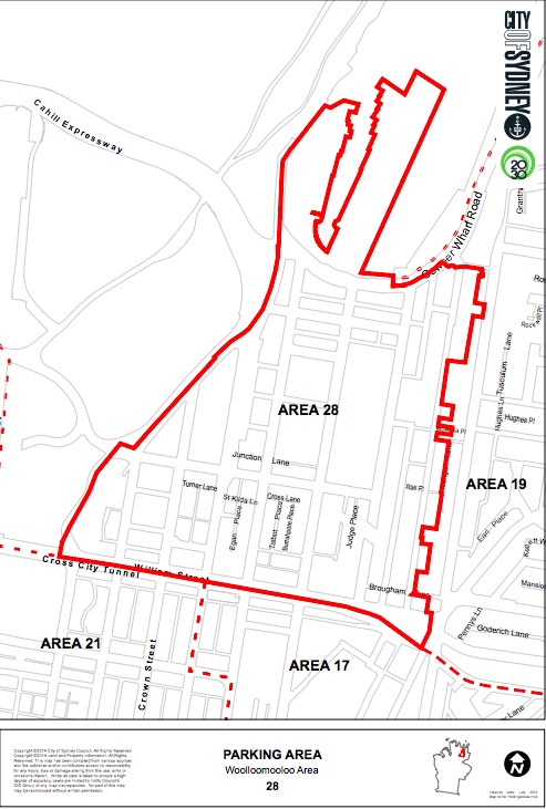
Woolloomooloo is a horseshoe-shaped valley to the east of the original settlement of 1788. The size of Woolloomooloo is 40 hectares. The Post Code for Woolloomooloo is 2011 and is known as Area 28 on the City of Sydney Local Council Maps (see below).
The Eastern Distributor in the vicinity above Palmer Street, dissects the suburb in a North-South direction. The Eastern Suburbs Train Line dissects the suburb from the West to the South-East corner across Cathedral Street and is raised above the suburb as an overpass.
Woolloomooloo is a horseshoe-shaped valley to the east of the original settlement of 1788. The size of Woolloomooloo is 40 hectares. The Post Code for Woolloomooloo is 2011 and is known as Area 28 on the City of Sydney Local Council Maps (see below).